Archive
WSWIND
…WIND CHILL ADVISORY IN EFFECT UNTIL NOON EST MONDAY…
* WHAT…Very cold wind chills. Wind chills as low as 20 below zero.
* WHERE…Portions of central, south central and southwest
Indiana.
* WHEN…Until noon EST Monday.
* IMPACTS…The cold wind chills could cause frostbite on
exposed skin in as little as 30 minutes.
PRECAUTIONARY/PREPAREDNESS ACTIONS…
Use caution while traveling outside. Wear appropriate clothing, a hat, and gloves.
&&
#wx
WSWIND
…WIND CHILL ADVISORY NOW IN EFFECT UNTIL NOON EST MONDAY…
* WHAT…Very cold wind chills. Wind chills as low as near 25 below zero.
* WHERE…Portions of central, east central, north central,
southwest and west central Indiana.
* WHEN…Until Noon EST Monday.
* IMPACTS…The cold wind chills could cause frostbite on
exposed skin in as little as 30 minutes.
PRECAUTIONARY/PREPAREDNESS ACTIONS…
Use caution while traveling outside. Wear appropriate clothing, a hat, and gloves.
A Wind Chill Advisory means that very cold air and strong winds will combine to generate low wind chills. This will result in frostbite and lead to hypothermia if precautions are not taken. If you must venture outdoors, make sure you wear a hat and
gloves.
&&
#wx
SPSIND
…BITTERLY COLD WIND CHILL TEMPERATURES TO CONTINUE…
The bitterly cold weather will continue with wind chill
temperatures from 3 to 14 degrees below zero through Monday
morning.
Avoid outside activities if possible. When outside, make sure you wear appropriate clothing, a hat, and gloves.
Use caution while traveling outside. Wear appropriate clothing, a hat, and gloves.
#wx
WSWIND
…WIND CHILL ADVISORY WILL EXPIRE AT 1 PM EST THIS AFTERNOON…
The wind chill advisory will expired at 1 PM this afternoon. It will still be bitterly cold with wind chills from 3 below to negative 14 below zero.
#wx
SPSIND
…Icy and Snow Covered Roads Overnight…
Light snow continues to fall across central Indiana but will end from west to east between 11 pm and 2 am. Total accumulations of around an inch are possible with locally higher amounts.
Travel conditions have steadily deteriorated in spots this evening and will continue to be problematic overnight even after the snow ends. The combination of westerly winds gusting to 30 mph and temperatures tumbling into the single digits will lead to blowing of snow across roadways and continued icing of surfaces.
Use caution if traveling through Sunday morning and allow extra time to reach your destination.
#wx
WSWIND
…WIND CHILL ADVISORY NOW IN EFFECT UNTIL 7 AM EST MONDAY…
* WHAT…Very cold wind chills expected. Wind chills as low as 25 below zero.
* WHERE…Portions of central, east central, north central,
southwest and west central Indiana.
* WHEN…Until 7 AM EST Monday.
* IMPACTS…The cold wind chills could cause frostbite on
exposed skin in as little as 30 minutes.
PRECAUTIONARY/PREPAREDNESS ACTIONS…
Use caution while traveling outside. Wear appropriate clothing, a hat, and gloves.
&&
#wx
SPSIND
…SNOW AND BLOWING SNOW THIS EVENING AND EARLY OVERNIGHT…
Pockets of light snow and west winds up to 25 mph with gusts to 35 mph will result in slick road conditions and sudden reductions in the visibility.
Motorists should be alert to slick roads and sudden reductions to the visibility tonight and reduce speed.
#wx
NPWIND
…WIND ADVISORY HAS EXPIRED…
Although it will be windy this afternoon, wind gusts should stay just below wind advisory criteria.
#wx
NPWIND
…WIND ADVISORY HAS EXPIRED…
The wind advisory has expired.
#wx
NPWIND
…WIND ADVISORY NOW IN EFFECT UNTIL 9 AM EST THIS MORNING…
* WHAT…West winds 20 to 30 mph with gusts up to 45 mph.
* WHERE…Shelby, Rush, Brown, Bartholomew, Decatur, Lawrence, Jackson and Jennings Counties.
* WHEN…Until 9 AM EST this morning.
* IMPACTS…Gusty winds could blow around unsecured objects. Tree limbs could be blown down and a few power outages may
result.
PRECAUTIONARY/PREPAREDNESS ACTIONS…
Use extra caution when driving, especially if operating a high profile vehicle. Secure outdoor objects.
&&
#wx
 WISH-TV Weather Blog
- An error has occurred; the feed is probably down. Try again later.
Bam Chase Updates
- An error has occurred; the feed is probably down. Try again later.
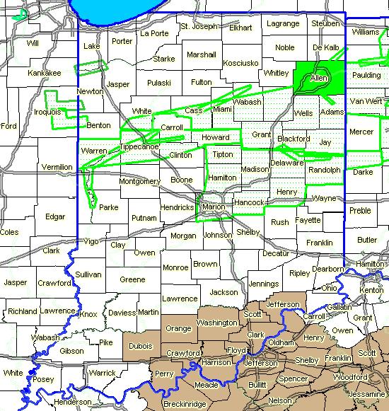
Active Weather Alerts- Map